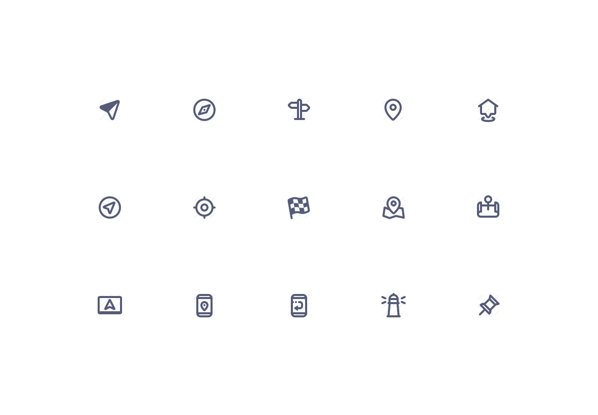
Maps & Navigation
Maps & Navigation can be used both for navigation system interfaces as well as for contact webpages to spice up a company's address for example. If this tickles your fancy, don't forget to check out the related Travel and Transport categories.
.png
.svg
.sketch
.xd
.fig
.iconjar
.ai
License
Standard License AgreementLearn More
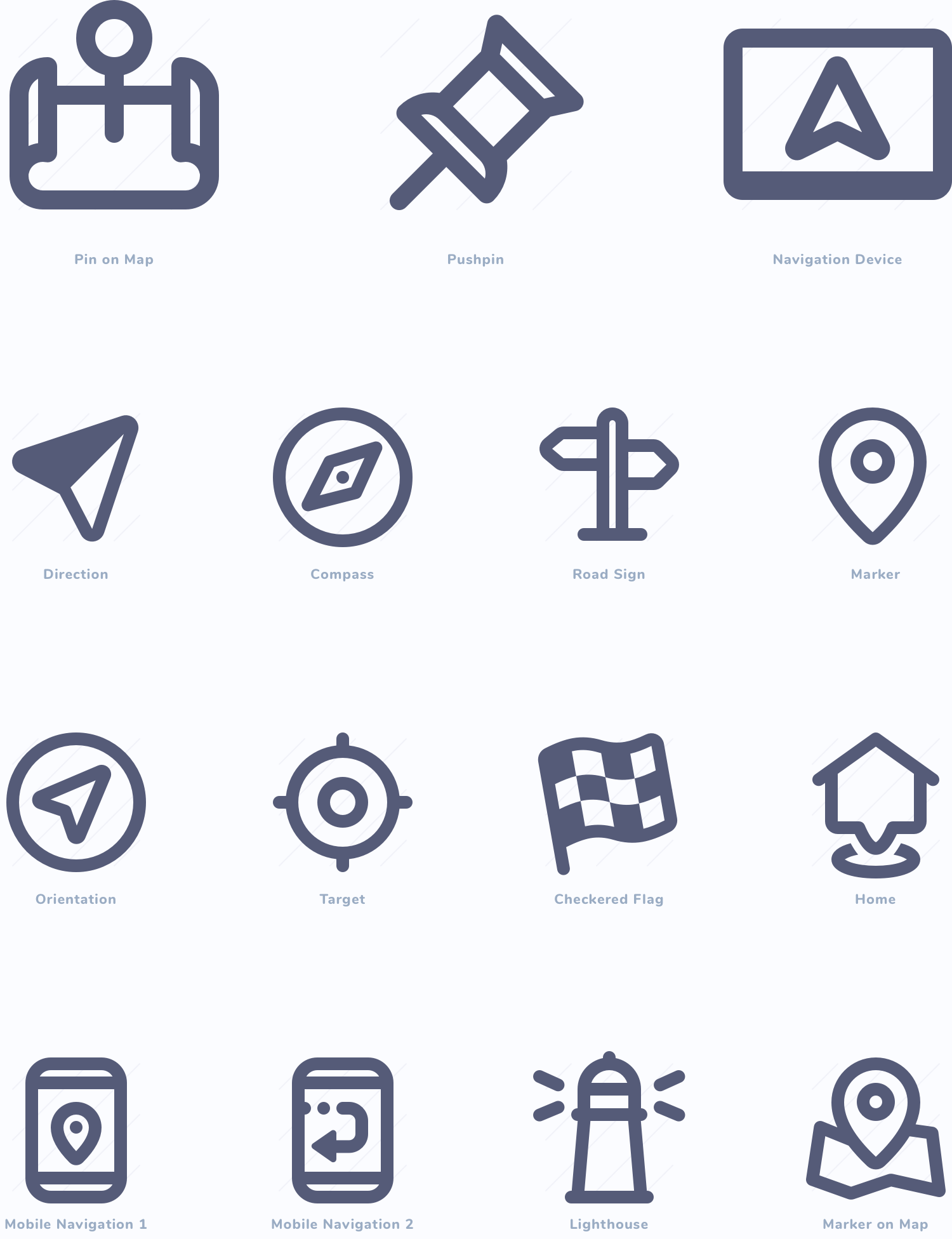
Gorgeous details
Zooming in on each single icon shows how its details and how it follows predefined guidelines, creating consistency throughout all Jollycons icons and the Maps & Navigation set in particular.


Simply precise
Every icon has been designed to have the the perfect amount of details while staying easily recognizable.
Flexible vectors
All icons are flexible vector graphics which makes them highly suitable for scaling, tweaking and customization.
In eight file formats!
Jollycons comes as standalone PNGs, SVGs, and PDFs and as .sketch, .xd, .fig, .ai and .iconjar files.


The crisp and detailed icons are a great addition to any designers toolkit. I especially love them for fun a friendly projects.
Jeff van Steijn — Designer, Yummygum
Download Jollycons v2 for free and instantly receive over 580+ hand-crafted icons, suitable for any project.